Step into spring with Slow Ways
Slow Ways is an initiative to create a national network of verified walking routes using existing paths, ways, trails and roads. Find out how you can help by simply walking a Slow Ways route.
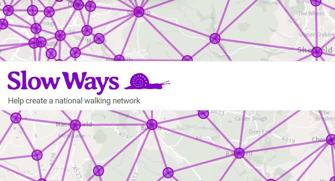
Slow Ways came about during the spring 2020 lockdown, when 700 volunteers joined forces to create and share maps of walking routes.
This developed into the goal of creating a national network of walking routes connecting all of Great Britain’s towns and cities as well as thousands of villages.
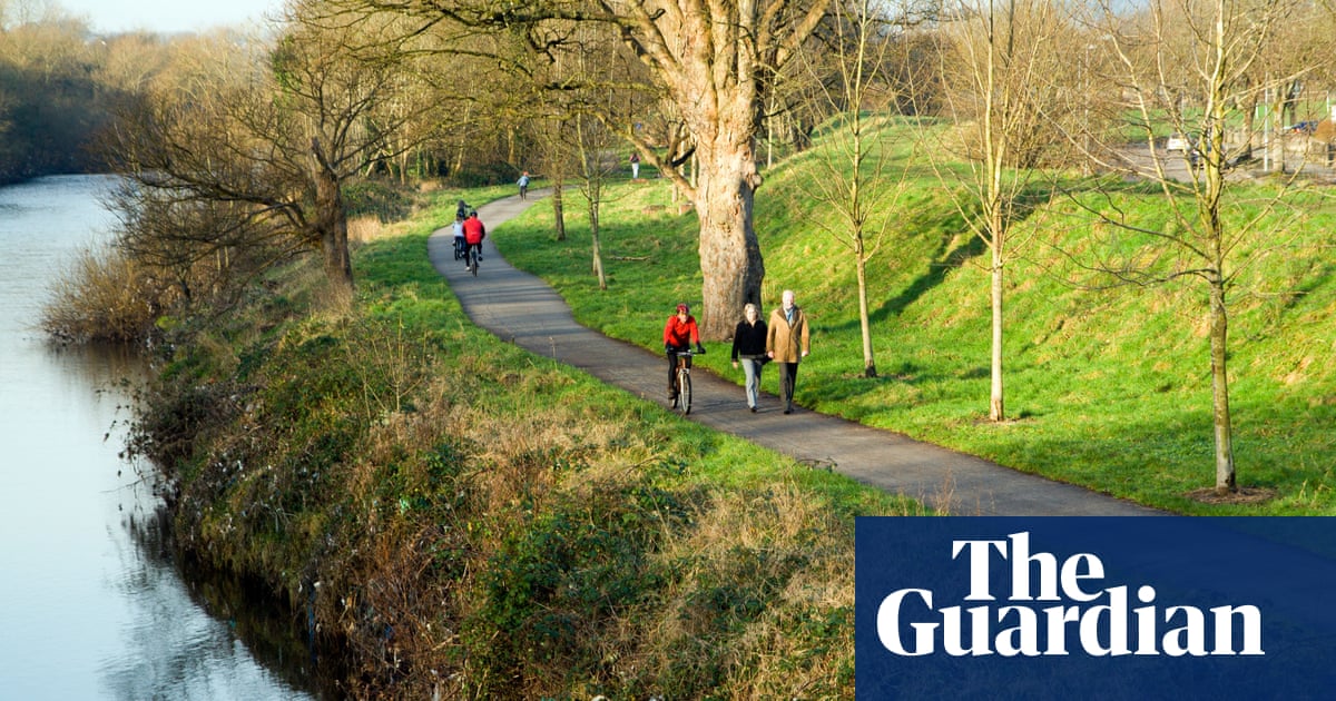
People can use Slow Ways routes to walk or wheel between neighbouring settlements, and combine them to create longer distance trips. They’re designed to make it easier for people to imagine, plan and go on walking journeys.
Get involved
Slow Ways aims to inspire and support more people to walk more often, further and for more purposes and now the group would like our help:
“While there are thousands of miles of paths linking places across Great Britain, there isn’t a comprehensive and trusted network designed to help people walk off-road between towns and cities. That’s what the Slow Ways initiative, with its distinctive geometric connections, is creating.
The next challenge is to walk, review and verify them all – checking 100,000km of Slow Ways in the process.
As people walk and wheel, review, rate, survey and create new routes this will evolve into a network of ‘verified’ routes, ones that can be used with confidence. Over time, this will help people with specific needs and desires easily find routes that meet their requirements.
Slow Ways is a positive and timely initiative. Walking can improve health and wellbeing, help tackle climate and ecological emergencies, save people money, improve our environment, create memories and bring joy to people’ s lives.”
Find out how you can help verify walks for Slow Ways here.
Walks around Headington
If you enjoy walking, the Headington News website features several circular walks starting in Headington:

Walk the Oxford Green Belt Way
The Oxford Green Belt Way is a 50-mile circular walk developed by the Campaign to Protect Rural England (CPRE) Oxfordshire. The route links four of Oxford’s Park & Ride sites and is crossed by major bus routes, making it easy to access the route and to travel back to your starting point. From Headington, we can pick it up at Thornhill Park & Ride:
Sustrans unveils ambitious plans for a UK-wide traffic and barrier-free national cycling and walking network
 Laura Laker